
Flooding in the Catawba-Wateree River Basin
Heavy rains led to polluted water in our basin
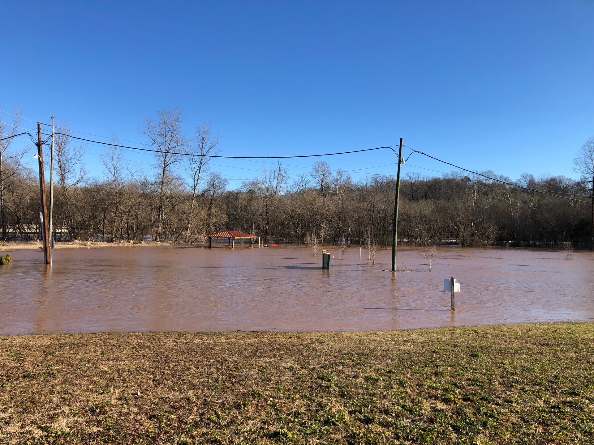
Heavy rain on top of saturated soils has led to extensive flooding across the southeast including the Catawba Basin this January. In addition to inundating structures and property, flood waters are usually heavily polluted. In developed areas rising creeks can damage and overwhelm sewage structures leading to hundreds of thousands of gallons of spilled sewage. Rain this month led to over 500,000 gallons of reported spills in our watershed alone. Our sampling in the South Fork and Great Falls found fecal bacteria levels greater than 10 times the recommended swimming standard.
Unfortunately, flooding and the associated pollution are likely to increase. National and state climatologists predict that our area will receive roughly the same amount of precipitation but in fewer, larger storms. Also, population growth in the basin has led to the rapid development of fields and forests. This change in land use increases the quantity and intensity of stormwater.
To mitigate these impacts and reduce stormwater pollution we need updated ordinances and more resilient infrastructure. Individuals can help by volunteering to replant eroded banks and by supporting legislative initiatives that prevent building in floodplains and protect the riparian buffer. Homeowners can reduce runoff from their property by disconnecting downspouts and installing rain barrels or rain gardens. We ask all concerned citizens to express to their elected officials that we need more proactive policies to address stormwater and flood resiliency.