


How We Work
The Catawba-Wateree River Basin is 5,610 square miles and touches 26 counties in North and South Carolina. There are more than 8,900 miles of waterways stretching from the Blue Ridge mountains, through the foothills and populous piedmont to the swampy Congaree National Park near Columbia, South Carolina.
That’s a lot of water to keep watch over!
So how does Catawba Riverkeeper tackle that challenge?
We’ve divided the basin into 5 major sub-watersheds and have dedicated time and resources to each sub-watershed. While some threats to water quality and quantity are universal in our river basin (like stormwater runoff!), each sub-watershed has its own unique challenges and opportunities that require dedicated regional support.
The 5 major sub-watersheds (which roughly follow the USGS HUC-10 delineations) are: the Northern Catawba, South Fork, Central Catawba, Southern Catawba, and Wateree.
The 5 Sub-Watersheds of the Catawba-Wateree River Basin
About
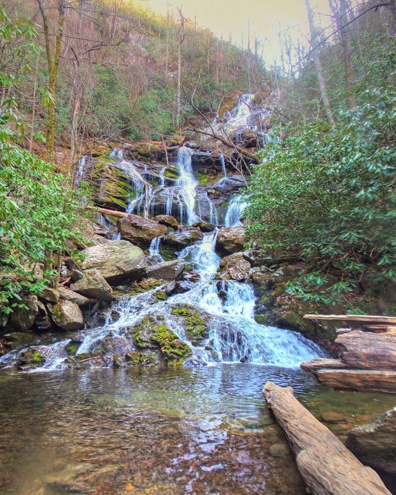
The Northern Catawba Basin encompasses the waterways upstream of Lake Norman to the headwaters of the Catawba.
Lake James, Lake Rhodhiss, Lake Hickory, and Lookout Shoals are all part of the Northern Basin as well as 2,673 miles of streams in Alexander, Avery, Burke, Caldwell, Catawba, and McDowell Counties.
The main stem and major tributaries flow through areas of increasing development including Marion, Morganton, Lenoir, and Hickory.
About
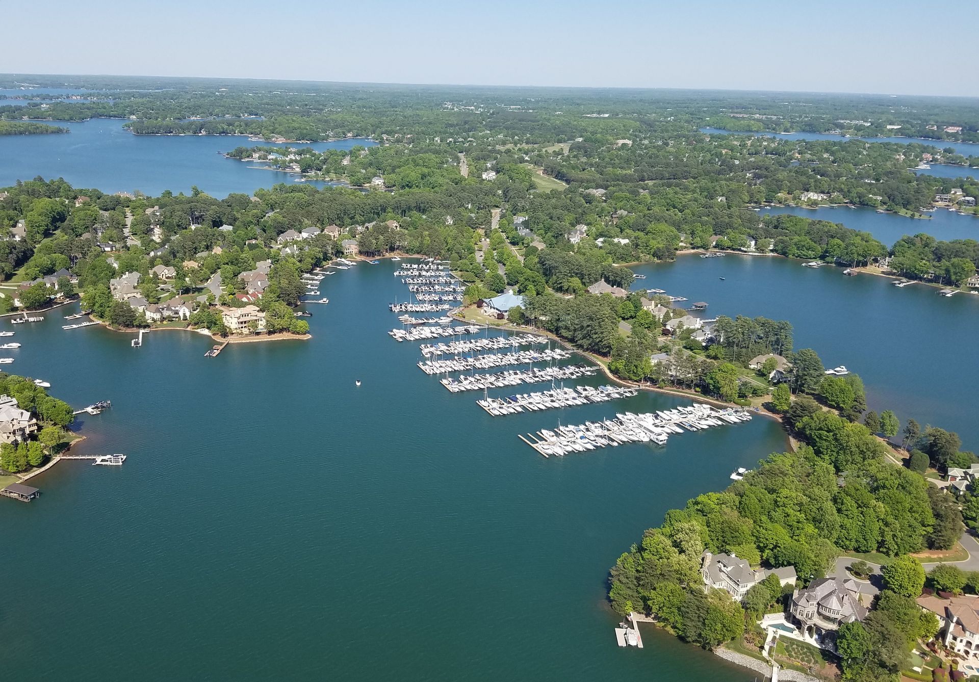
The Central Catawba Basin is defined by three large reservoirs – Lake Norman, Mountain Island Lake, and Lake Wylie in the Charlotte metropolitan area.
The Central Catawba Basin is the most developed portion of the watershed.
The lakes in this region supply drinking water and electricity to over 2 million people.
About
The South Fork watershed begins in South Mountain State Park as the Jacob Fork and Henry Fork Rivers.
The South Fork River is the largest tributary in the Catawba River system, and flows through Gaston, Lincoln and Catawba Counties.
Catawba Riverkeeper is a founding member of the South Fork Collective, a group that includes 6 municipalities, 5 non-profits, a utility and a major for profit business along the South Fork of the Catawba River, the largest tributary in the Catawba River Basin.
The South Fork Collective works to enhance the water quality, flood resiliency, and recreational access of the South Fork to improve the quality of life for our residents and visitors alike.
About
Most of Charlotte drains into the Southern Catawba Basin via Sugar Creek.
The Southern Catawba Basin extends down through Fishing Creek Reservoir and Great Falls and ends at the Lake Wateree dam.
The Southern Basin transitions from highly developed cities of Charlotte and Rock Hill to rural and developing areas moving south.
This region is home of the Catawba Nation.
About
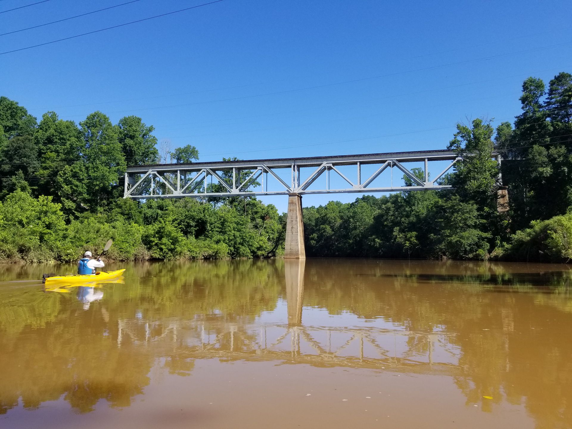
The Wateree sub-basin starts at the Lake Wateree Dam tailrace and snakes 75 river miles until the confluence with the Congaree River in Congaree National Park.
The Wateree Basin is dominated by smaller towns, agricultural fields, and wetlands.
The basin includes the City of Camden and the eastern half of Fort Jackson.
The "Protect" Team
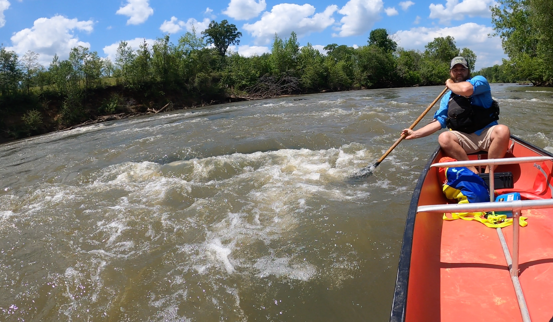
Catawba Riverkeeper employs a Watershed Manager for the Northern Catawba Basin, South Fork Basin, and Southern Catawba Basin who focuses on preserving, protecting, and restoring local waterways. These Watershed Managers are part of the “Protect” team of scientists and advocates lead by Riverkeeper Brandon Jones with advocacy support from Policy Manager Ryan Carter. The Central Basin is currently monitored by Brandon Jones with support from the entire team as we continue to raise money and seek grant funding for a Central Basin Manager.
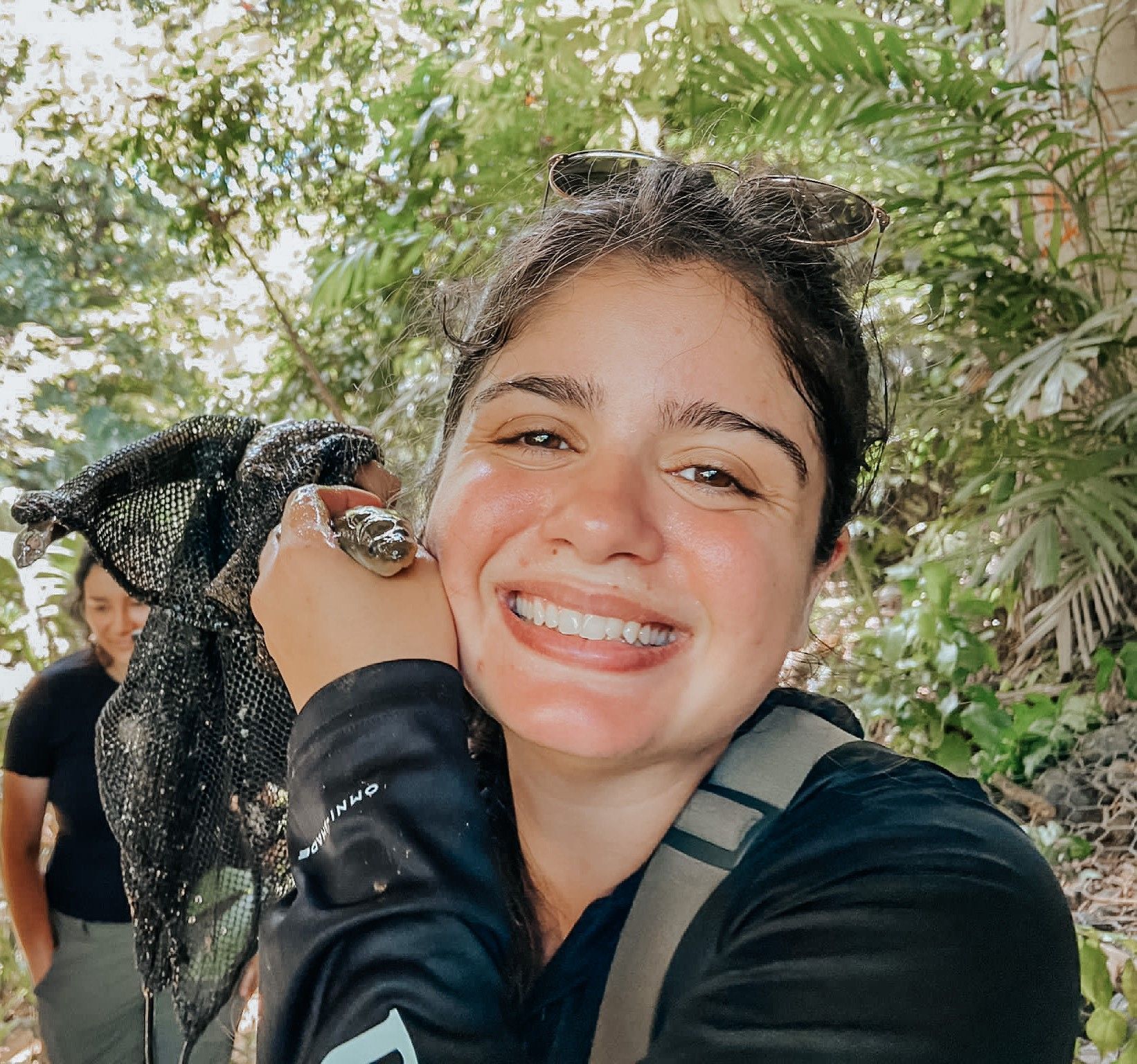
Volunteer and Community Science Manager Kaity D'Angelo and Mission Support Specialist Greg Nance also serve on the protect team helping to connect residents of the basin to the work of Catawba Riverkeeper through recreation, cleanups, and community science.


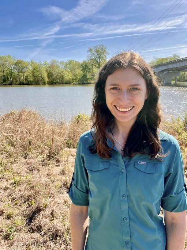

Pictured above from left to right: Riverkeeper Brandon Jones, Northern Basin Watershed Manager Grant Buckner, Southern Basin Watershed Manager Rachael Rosenstein, South Fork Watershed Manager Ambar Torres Molinari, Policy Manager Ryan Carter, and Volunteer and Community Science Coordinator Kaity D'Angelo..
State of the River: Assessing Our Watersheds
We’ve also used the sub-watershed strategy in our annual State of the River report to better address the question of “how’s the River.” In that interactive story map, you’ll see that each sub-watershed receives an overall score based on factors like the level of monitoring, point sources of pollution, non-point source pollution, water quality and recreation access.
In the most recent report, here’s how each sub-watershed scored on a 1 to 5 scale (1 = poor, 5 = excellent). Explore the State of the River report to learn more about each part of our watershed.
Our Basin-Wide Priorities
While each watershed has its own unique set of challenges there are four water quality issues that Catawba Riverkeeper prioritizes across the board. Our basin-wide priorities are:
- Reducing the amount of and limiting the negative impacts of stormwater runoff;
- Monitoring permitted pollution and advocating for better oversight of discharges into our streams and rivers;
- Restoring waterways to improve their health for people and ecosystem who depend on them; and
- Monitoring waterways to fight for swimmable, fishable, and drinkable water for all.
Success Stories
Follow the links below to read examples of success stories that wouldn’t have happened without a Watershed Manager dedicated to each sub-basin and a Policy Manager advocating for common sense water quality protections:
- Northern Basin Protection and Restoration Plan
- Southern Catawba and Wateree Basins Protection and Restoration Plan
- Swim Guide
- South Fork Collective
- Introduction of a bi-partisan stormwater bill in North Carolina
- Securing 100ft buffers on two miles of stream in Chester County
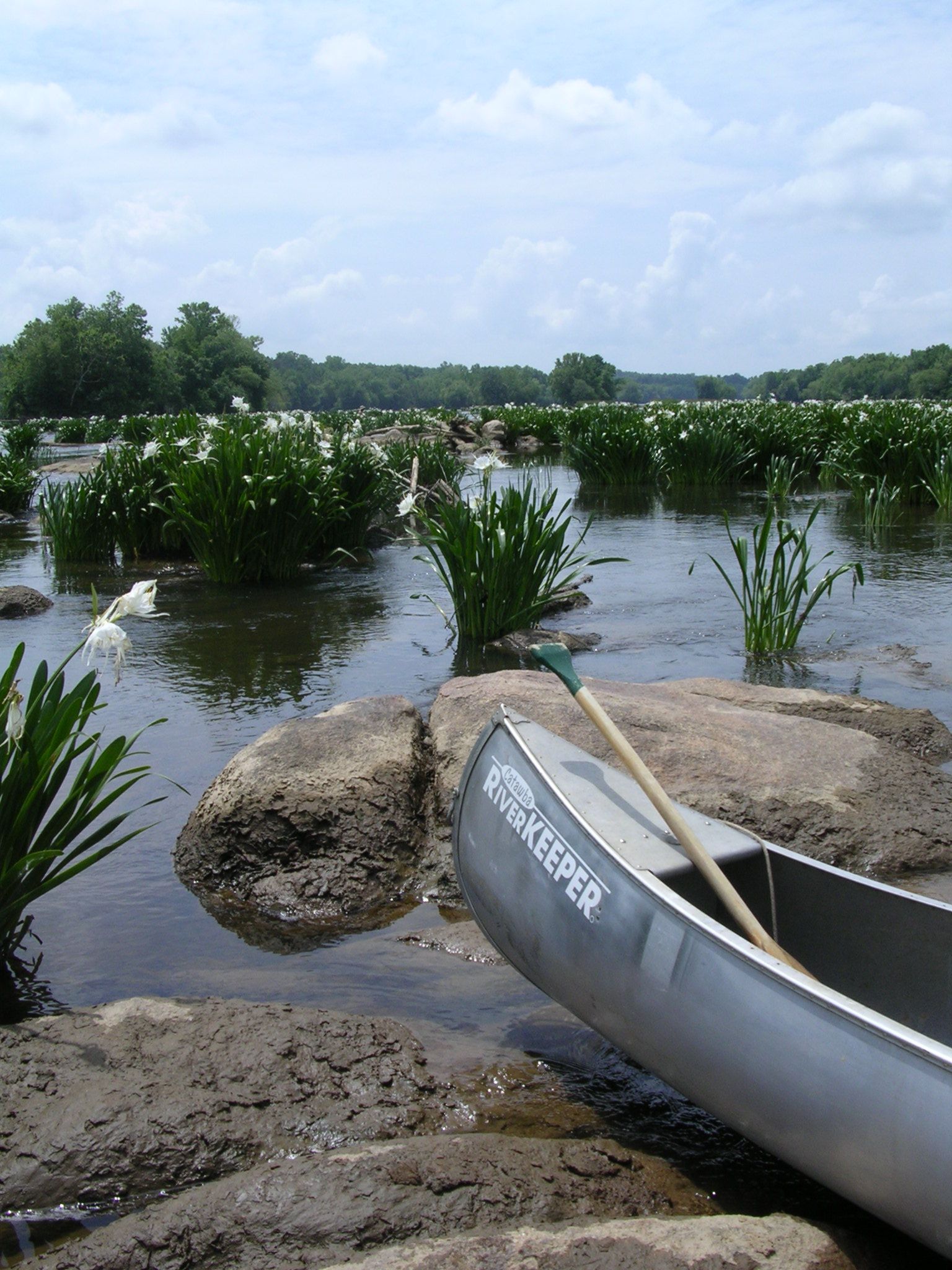
- Spider Lily propagation in Great Falls
- Beaver Dam Analog pilot restoration project
- Northern Basin Office and Lab
- Silver Creek hydraulic oil spill investigation and enforcement
- Wateree River Survey
- Removing 100,000 pounds of trash from local waterways in 2023
Join Us Today
Subscribe to our mailing list.
Explore
Contact Information
102 Main Street, Suite 100, McAdenville, NC 28101