


Catawba Riverkeeper
Maps
Catawba Riverkeeper created interactive, online maps to help you explore the Catawba-Wateree River basin. Ever wonder “What’s the name of that creek? Where is our drinking water withdrawn? Where are permitted discharges? Who are my state legislators?” With Catawba Riverkeeper’s Basin Explorer Map you can find out these things and more by turning on or off different map layers! Click on the titles below to get started.
Did you know that the Catawba-Wateree spans more than 5,000 square miles? Within our basin, there are 164 sub-watersheds. That’s a lot of area to keep our eyes on. You can help us get the job done by sponsoring a watershed for $250. Sponsoring a watershed provides the resources that Catawba Riverkeeper needs to monitor our waterways, collect relevant data, and report pollution to the proper authorities.
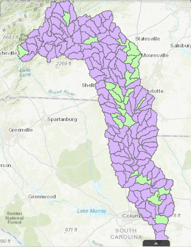
Click image to access the interactive Sponsor a Watershed Map.
Swim Guide Map
Catawba Riverkeeper tests popular swimming areas for E. coli each week from Memorial Day to Labor Day. You can bookmark www.theswimguide.org find for easy access. Results are also available in the Catawba Riverkeeper app, the Swim Guide app, and on Catawba Riverkeeper’s Facebook and Instagram pages every Friday during the summer.
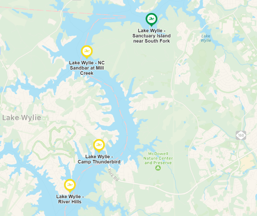
Click on the above image to see the latest results.
Support Our Foundation
Let's protect the Catawba River!
The Catawba Riverkeeper Foundation is working towards clean, plentiful water now and for generations to come.