
What is Swim Guide?
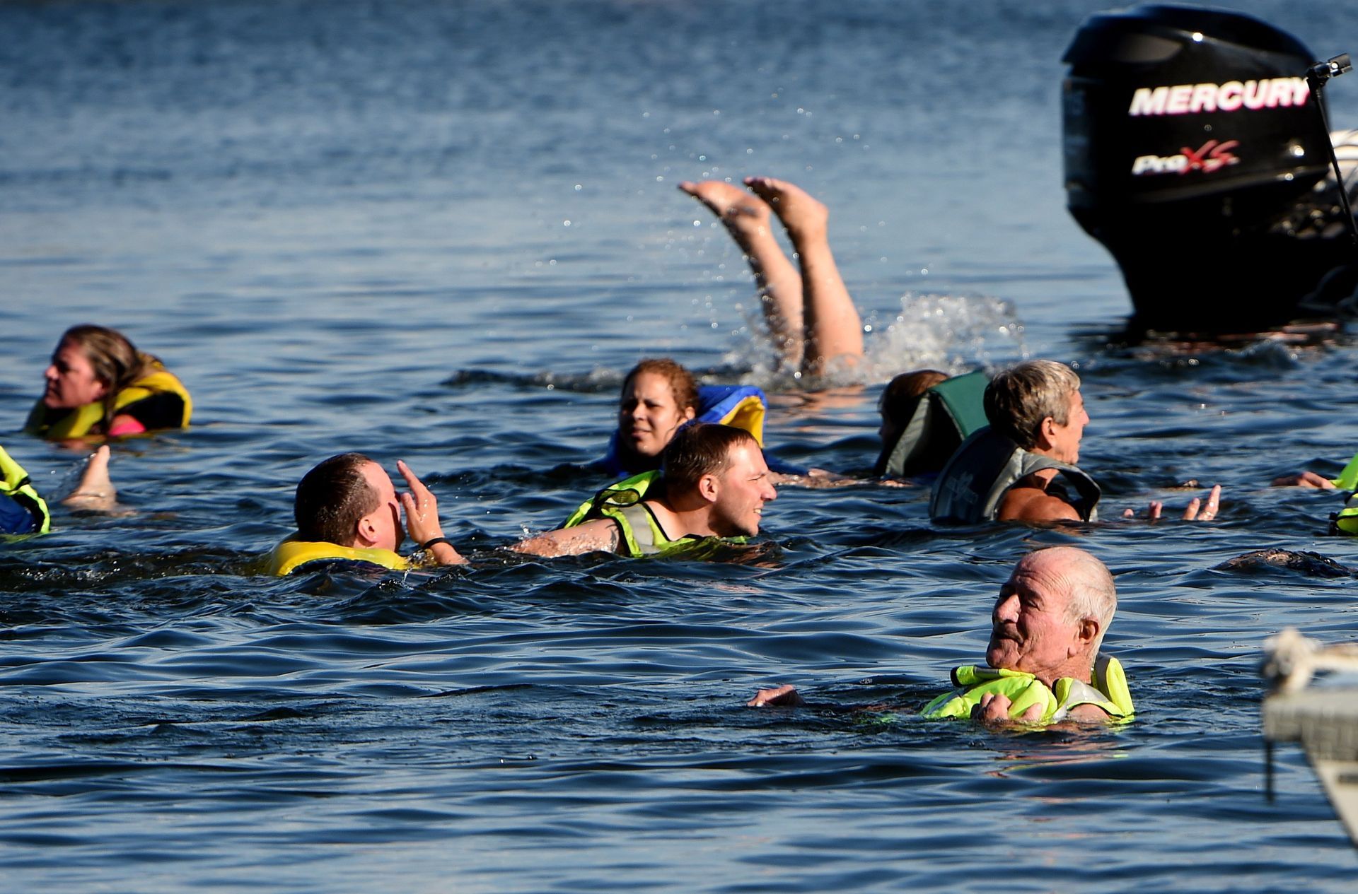
Whether you're planning a day at the lake or a weekend on the river, knowing if the water is safe for swimming is an important part of any outdoor adventure. Today, that information is only a few clicks away thanks to Swim Guide, a program that has grown from a local initiative into the world's largest recreational water quality network.
The History of Swim Guide
Before Swim Guide, water quality information was often difficult for the public to access. Testing results were collected by different health departments and agencies, making it challenging to find current, reliable information in one place. The organization behind Swim Guide, formerly known as Lake Ontario Waterkeeper (now Swim Drink Fish), set out to solve that problem. Staff and volunteers began gathering daily beach water quality reports from local health departments and sharing them with the public in a single, accessible format. In 2011, funding from RBC (Royal Bank of Canada) helped transform the project into the digital platform we know today.
The first Swim Guide website and mobile app launched to provide water quality information for beaches around Lake Ontario. Within weeks, the app attracted more than 10,000 users and featured approximately 1,700 beaches through partnerships with 90 organizations.
As more Waterkeeper organizations and environmental groups joined the effort, Swim Guide expanded far beyond its original reach. Today, it provides free recreational water quality information for more than 10,000 beaches, lakes, rivers, and swimming areas across multiple countries, helping millions of people make informed decisions before they head to the water.
Bringing Swim Guide to the Catawba-Wateree Basin
Catawba Riverkeeper joined the Swim Guide network in 2020, bringing weekly water quality monitoring to popular recreation sites throughout the Catawba-Wateree River Basin. Each Thursday morning during the monitoring season, Riverkeeper staff, interns, and dedicated volunteers collect water samples from dozens of locations across the basin. Those samples are analyzed for Escherichia coli (E. coli) in Catawba Riverkeeper's laboratory. Rather than testing for every possible pathogen, recreational water programs monitor indicator bacteria like E. coli. Because these bacteria live in the intestines of warm-blooded animals, elevated levels can indicate fecal contamination in the water and an increased risk of harmful pathogens being present.
After testing is complete, results are published every Friday using a stoplight system:
- Green indicates bacteria levels that meet recommended standards for swimming.
- Yellow suggests conditions are better suited for activities with limited water contact, such as kayaking or paddleboarding
- Red indicates bacteria levels that exceed recommended swimming and paddling thresholds, and entering the water is not advised.
The Process of Swim Guide
List of Services
-
Site CollectionList Item 1
Volunteers collect water samples from 60+ popular swimming site locations across the Catawba-Wateree River Basin.
-
Samples TransportedList Item 2
Samples are delivered to the Catawba Riverkeeper lab for testing.
-
Turbidity MeasurementList Item 3
Staff measure the turbidity (cloudiness) of each water sample.
-
Coilert is addedList Item 4
Colilert reagent is added to detect the presence of E. coli bacteria.
-
Samples Poured Into Quanti-Trays
Samples are poured into Quanti-Trays, air bubbles are removed, and the trays are sealed.
-
Sample Incubation
The sealed trays are incubated for 24 hours.
-
Samples Examined Under UV Light
Trays are examined under UV light, where E. coli-positive wells glow.
-
Wells Are Counted
The glowing wells are counted to determine the Most Probable Number (MPN) of E. coli per 100 mL of water.
-
Data Entry
Results are recorded and entered into the Swim Guide database.
-
Graphics updated
Graphics are updated for Instagram and Facebook.
-
Information Published
Water quality results are published every Friday on Swim Guide and shared on Catawba Riverkeeper's social media channels.
Understanding Results
Swim Guide provides a snapshot of water quality at the time each sample is collected. While the data is an excellent resource for planning your weekend, conditions on the water can change quickly due to rainfall, runoff, wildlife activity, and other environmental factors.
Heavy rain often washes additional bacteria into rivers and lakes, causing E. coli levels to rise temporarily. If a heavy rain event occurs after Swim Guide samples are collected, Catawba Riverkeeper recommends that everyone remain cautious and avoid swimming in water that appears brown or discolored, as this may indicate stormwater pollution.
During the hot summer months, another concern is harmful algal blooms (HABs). These blooms can develop when warm, slow-moving water combines with excess nutrients, creating dense patches of algae that may produce toxins harmful to people and pets. Because algal blooms can appear and change rapidly, they are not reflected in routine E. coli testing. Before entering the water, always look for signs of a bloom, such as bright green water, thick surface scum, or paint-like streaks. Avoid swimming or allowing pets to enter water that appears discolored or has visible algae, as dogs are especially vulnerable to toxins in harmful algal blooms.
Fortunately, water quality across the Catawba lakes is generally very good, and most monitored sites are safe for recreation throughout the season. Over the first 9 weeks of the summer, Catawba Riverkeeper has tested 419 water samples. Of these samples, 24 samples have shown elevated levels of E.coli unsafe for swimming, and only 5 samples have shown extremely elevated E.coli levels unsafe for both swimming and paddling. Swim Guide is one of several tools you can use to make informed decisions before heading out, but it's always important to pair test results with your own visual assessment of current conditions.
For more information about Swim Guide and how to get involved, click the
link here
Swim Guide: Behind The Scenes