Supporting the South Fork Passage State Trail (NC Senate Bill 329)

Ellie Riggs • March 25, 2025

Help Expand NC's State Trail System!

Last week, because of our advocacy efforts, North Carolina lawmakers introduced Senate Bill 329 to recognize the South Fork Passage State Trail. As the bill moves through the legislative process, now is your chance to use your voice to speak out for the river! 


What is a state trail? 

A state trail is a linear land or water corridor with statewide natural, cultural, scenic, and recreational significance. North Carolina’s 14 state trails, spanning nearly 4,000 miles, are part of the state park system and authorized by the General Assembly. These trails support the state’s $16.2 billion outdoor recreation industry by attracting visitors, creating jobs, and boosting local economies. State trails also promote healthy lifestyles, provide recreational and educational experiences, and help protect North Carolina’s land, air, and water. 


Why Is SB329 Important? 

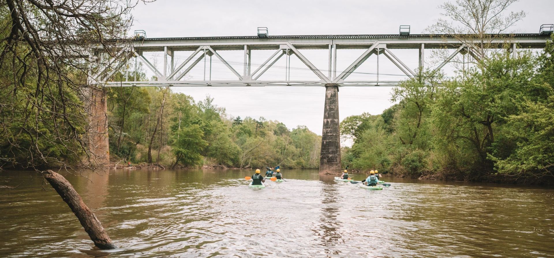
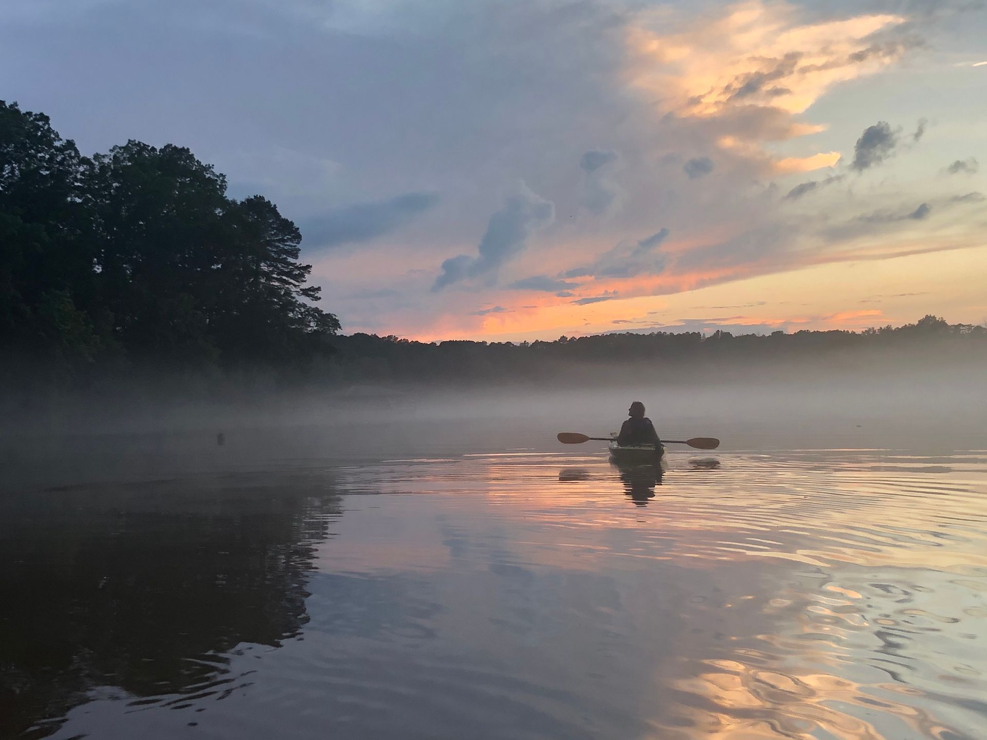
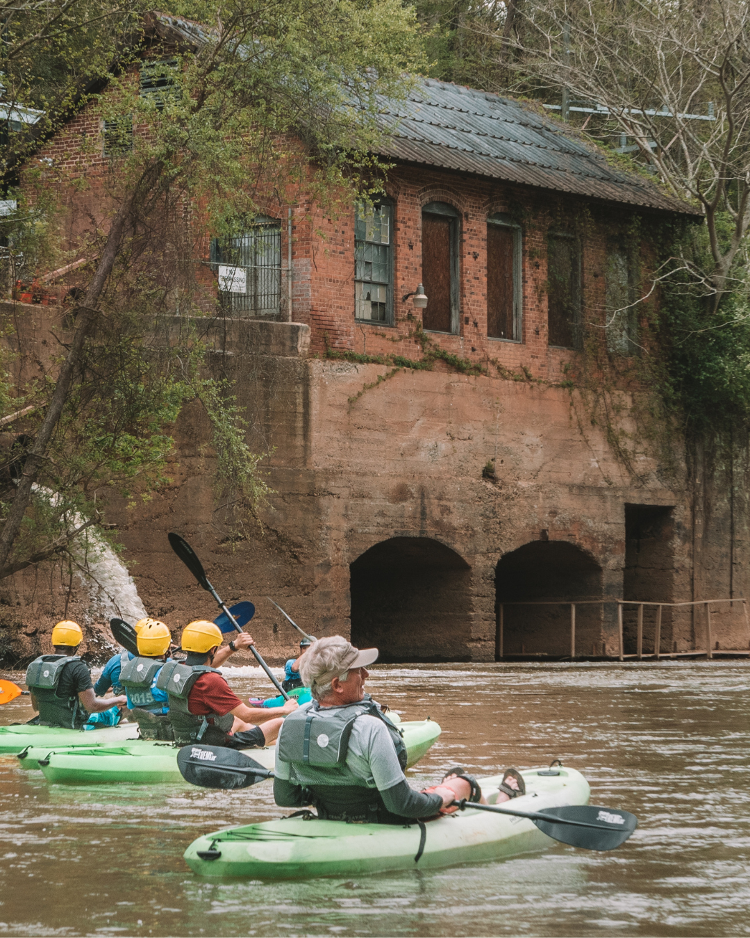
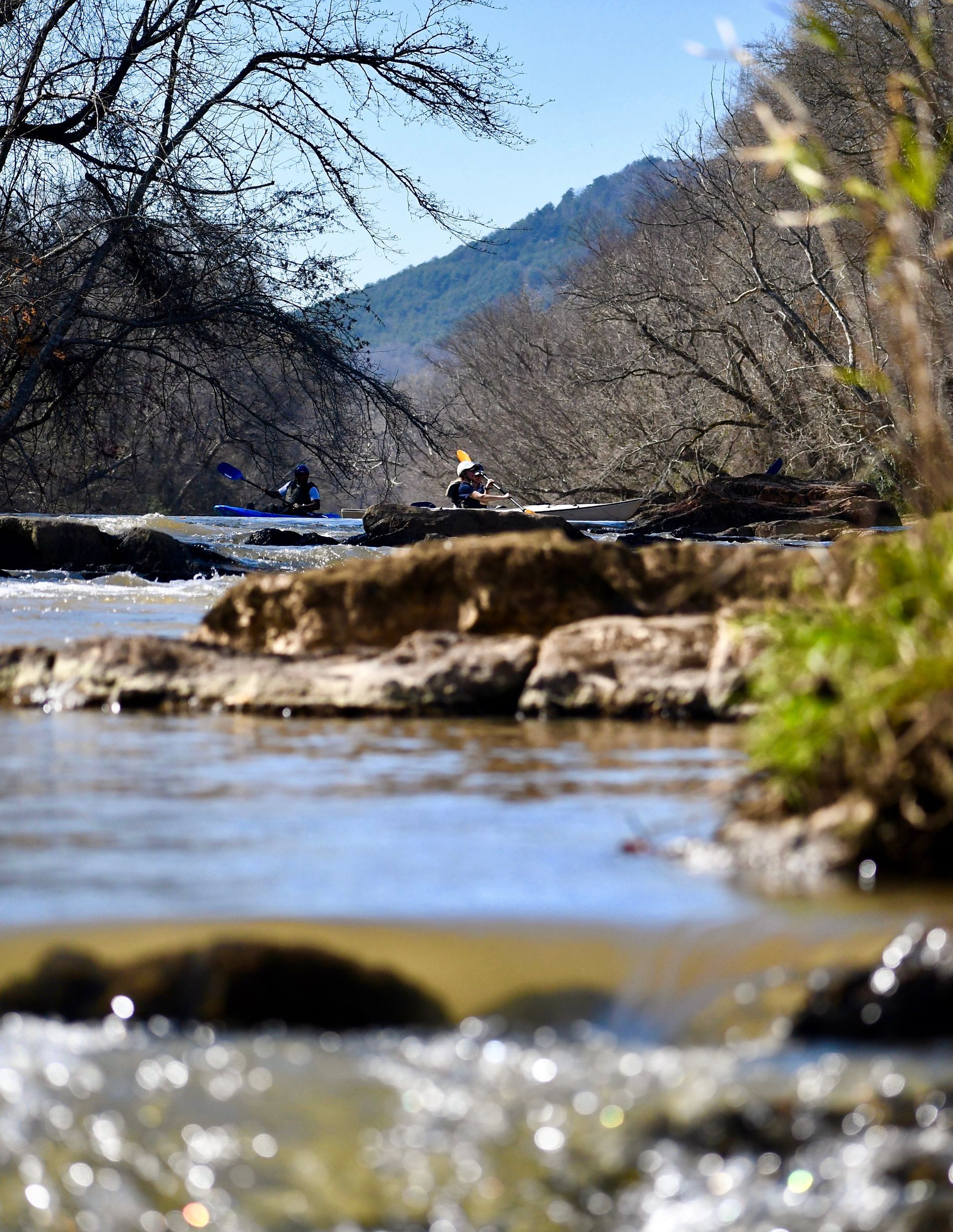
SB329 will authorize the South Fork Passage Trail, expanding North Carolina’s state trail system through Catawba, Lincoln, and Gaston Counties. The proposed trail will follow the South Fork River, a historically significant waterway that connects the region’s ties to the Catawba and Cherokee Nations, Revolutionary and Civil War battles, and the19th and 20th century textile industry. The South Fork River also supports an array of plant and animal species and important habitat. The South Fork Passage Trail is a key step in both conserving the region’s character, history, and natural resources and enhancing its recreational offerings for 20% of North Carolinians who live within an hour drive. 


What’s in SB329? 

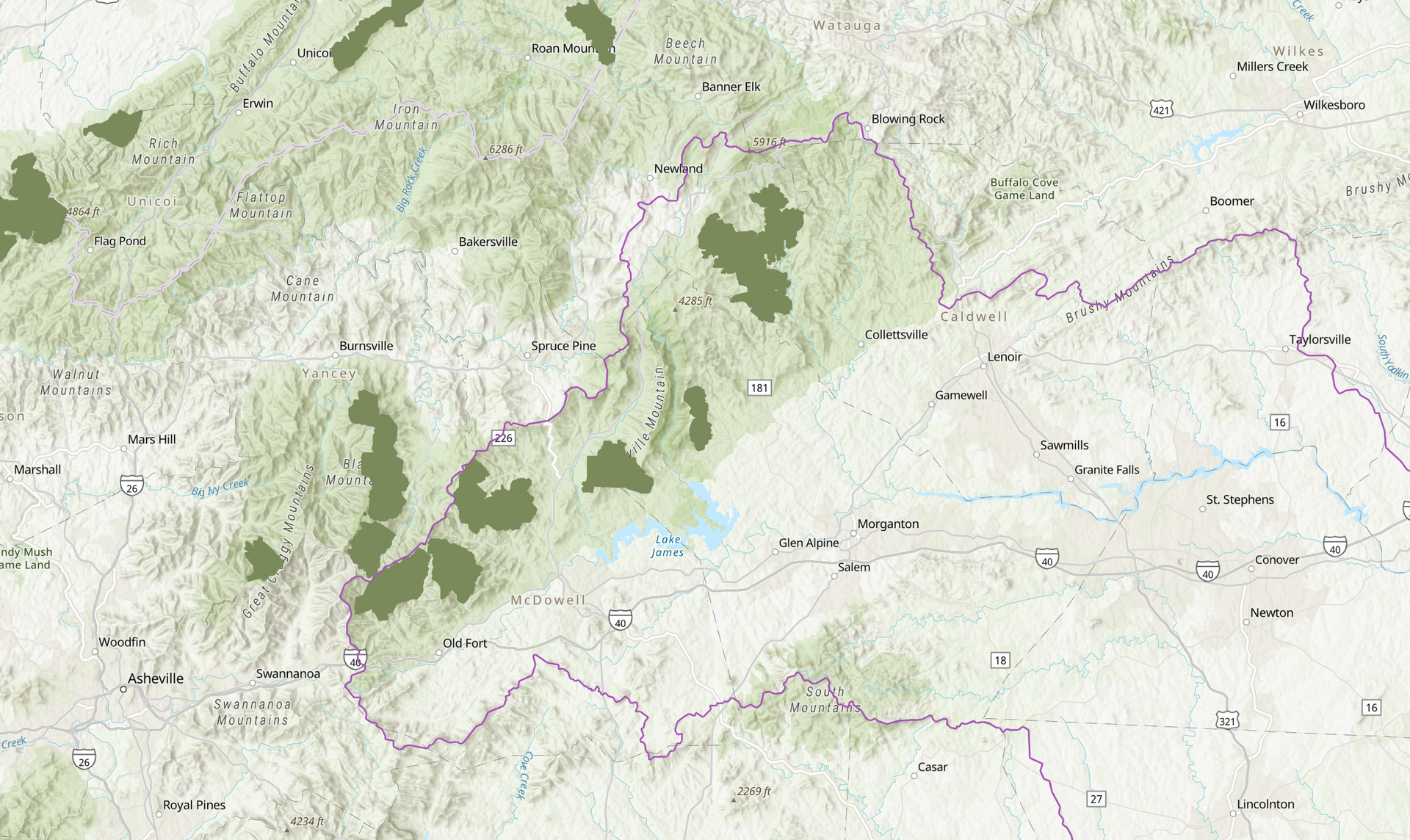
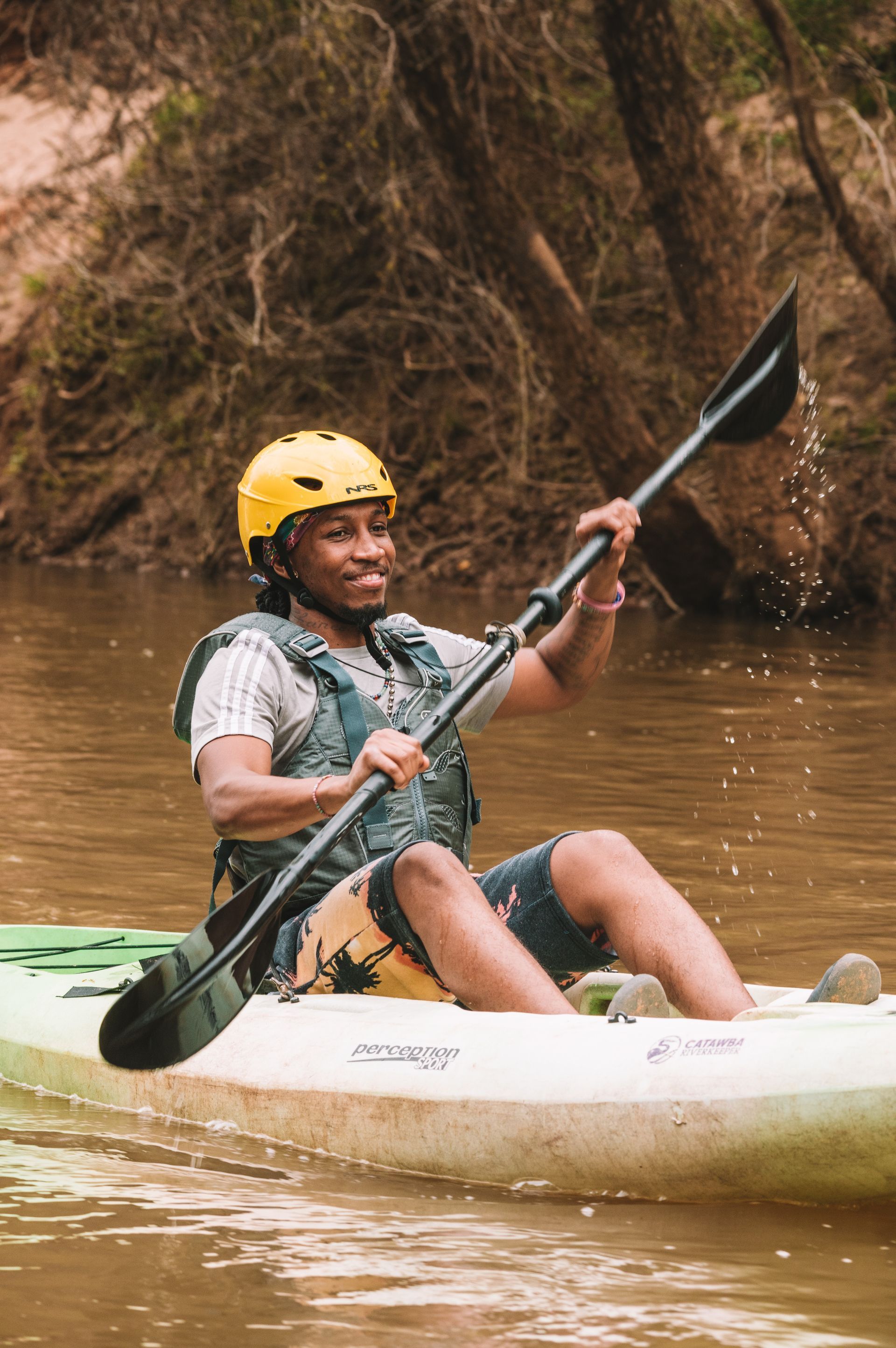
SB329 proposes a 60-mile paddling, hiking, and cycling trail will connect Jacob Fork Park in Catawba County to Beatty G. Ross Park in Lincoln County and Daniel Stowe Botanical Garden in Gaston County. 


You can read the full bill text here. Read our bill overview here


What’s Next? 

The bill must pass through the House and the Senate before it becomes law. 

Learn more about how a bill becomes a law here


Why Your Voice Matters 

Remember, legislators are driven by the concerns of people they represent. As a constituent, your voice can directly influence SB329 and other legislation affecting your community. We hope you’ll choose to make a difference today by finding your lawmakers and emailing them to urge support for the South Fork Passage State Trail. To make the process as simple as possible, we’ve created this email template that you can use to contact your legislators. You can also show your support by signing our petition! 


Visit www.catawbariverkeeper.org/advocacy to learn more. 

May 27, 2026
On the evening of May 26th, 2026, Catawba Riverkeeper Brandon Jones attended the Charlotte City Council Public Meeting. At this meeting, he shared our organization's comments on the proposed 150-day data center moratorium. These comments can be read below. "The Catawba Riverkeeper Foundation is a member-funded environmental nonprofit that educates, advocates, and protects the Catawba-Wateree River and all its tributaries. Our organization represents over 8,000 active members and nearly 3 million citizens who rely on the watershed for drinking water, recreation, and electricity. We are concerned that the growth of local data centers may overallocate our limited resources and decrease our ability to respond to drought. We appreciate the opportunity to comment on the proposed 150-day moratorium and strongly support the staff's recommendation to adopt it. Additionally, if adopted, we recommend that the study consider a tiered approach, transparency, and net water consumption. For our water resources, the most important data center metric is net water use. A 400 MW facility—like the one now under construction on Moores Chapel Road—may actually evaporate more water indirectly than directly for cooling. The nearby Catawba Nuclear Station uses approximately 30 MGD to produce 2,300 MW or 5.2 MGD from Lake Wylie per 400 MW. However, without transparency and reporting, it is difficult to know the current impact of these data centers and almost impossible to accurately forecast the industry's future. The most accurate forecast of our region's water resources is the Catawba Wateree Water Management Group’s 2026 Integrated Water Resources Plan. Unfortunately, this plan explicitly does not include increases in water use from data centers due to limited reliable information. It is absolutely critical that our community has accurate information. We need full transparency on the planned electrical and water use of large data centers. A ban of nondisclosure agreements between elected officials and developers could help alleviate suspicion and allow communities to make informed decisions about tradeoffs. The potential direct and indirect impact s of a project should be modeled by the CWWMG to determine its actual impacts. Those impacts could be mitigated by funding water conservation projects, as some data centers have already proposed. Once operating, we need reporting on the actual water and energy use. The cumulative impact must be understood to ensure capacity and resiliency. Water withdrawers from the Catawba utilize a Low Inflow Protocol during drought to help stretch the available supply. Large data centers need conservation plans that comply with this plan. It is hypocritical to ask residents and some businesses to restrict water use while permitting facilities that cannot or will not do the same. Most years, there is plenty of water for drinking, irrigation, ecological flows, and industry in the Catawba. However, droughts such as 2001, 2007, and today expose our vulnerabilities. These droughts are more likely in a warming climate, and we are becoming less resilient with a growing population and industrial demands. Sustainable water management requires careful planning and robust coordination between users, including data centers."
By Susannah Bryant March 19, 2026
Greg Nance has had his boots on the ground since the storm subsided.
February 19, 2026
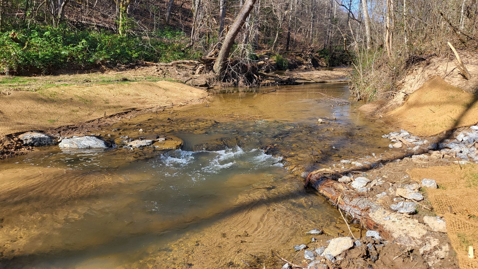
Live staking is a streambank restoration approach that reduces erosion and sediment pollution. This is the practice of planting dormant branch cuttings of native plants along streambanks (also known as riparian zones) to help hold soil in place along the waters' edge. Live stakes are planted along with native plant seeds and shrubs to create riparian buffers, which help prevent sediment from becoming a stream pollutant by securing the soil in place with good root systems. Riparian buffers also filter out other pollutants, such as chemicals, oils, fertilizers, and trash, before they enter our waterways.